What’s in a Name?

Since arriving in the Caribbean last November, we have checked into 8 countries, visited over a dozen islands, and can’t help but notice the idiosyncrasies of their naming conventions. From simple repetition, to stating the obvious, to the opposite of the obvious, the place names have been a continual source of amusement. Here are some of our favourites:

Under the category of repetitious, the winner is Saint John, or the french St-Jean, or the Dutch Sint John.  Clearly he was everyone’s favourite saint of the day, with a city, town, parish, or bay named after him on almost every single island we visited. Sometimes, to distinguish one Saint John from another, a further moniker is added, like in St. Kitts and Nevis, one country with two St. John’s. One is St. John Capisterre, the other St. John Figtree Parish.

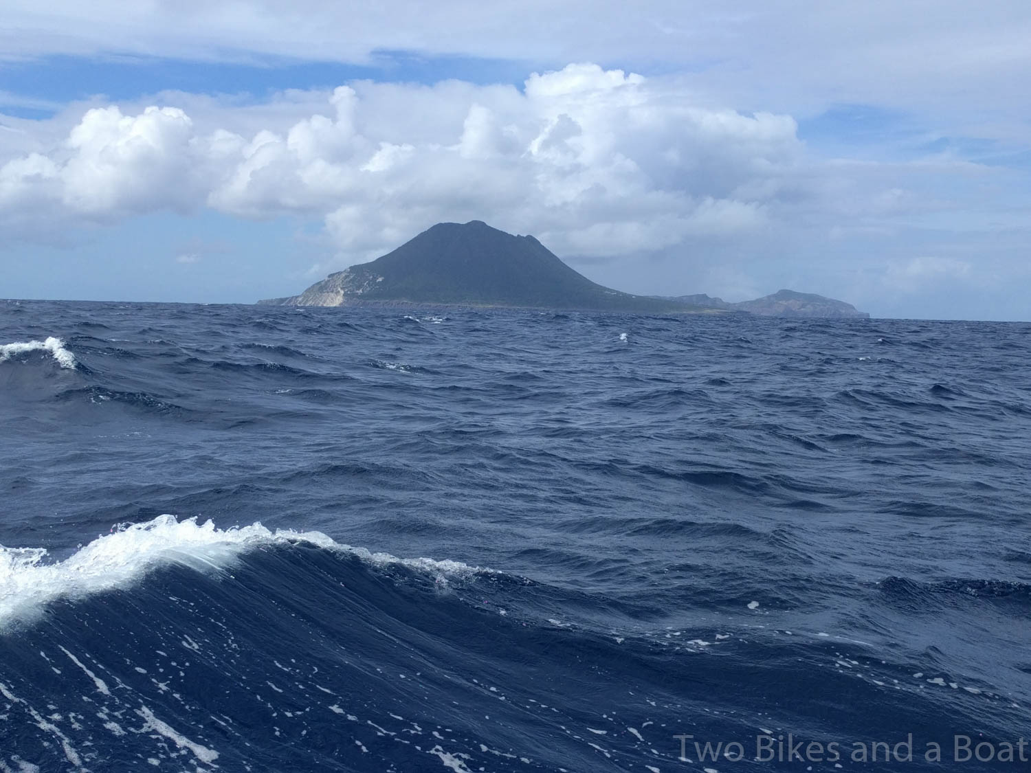
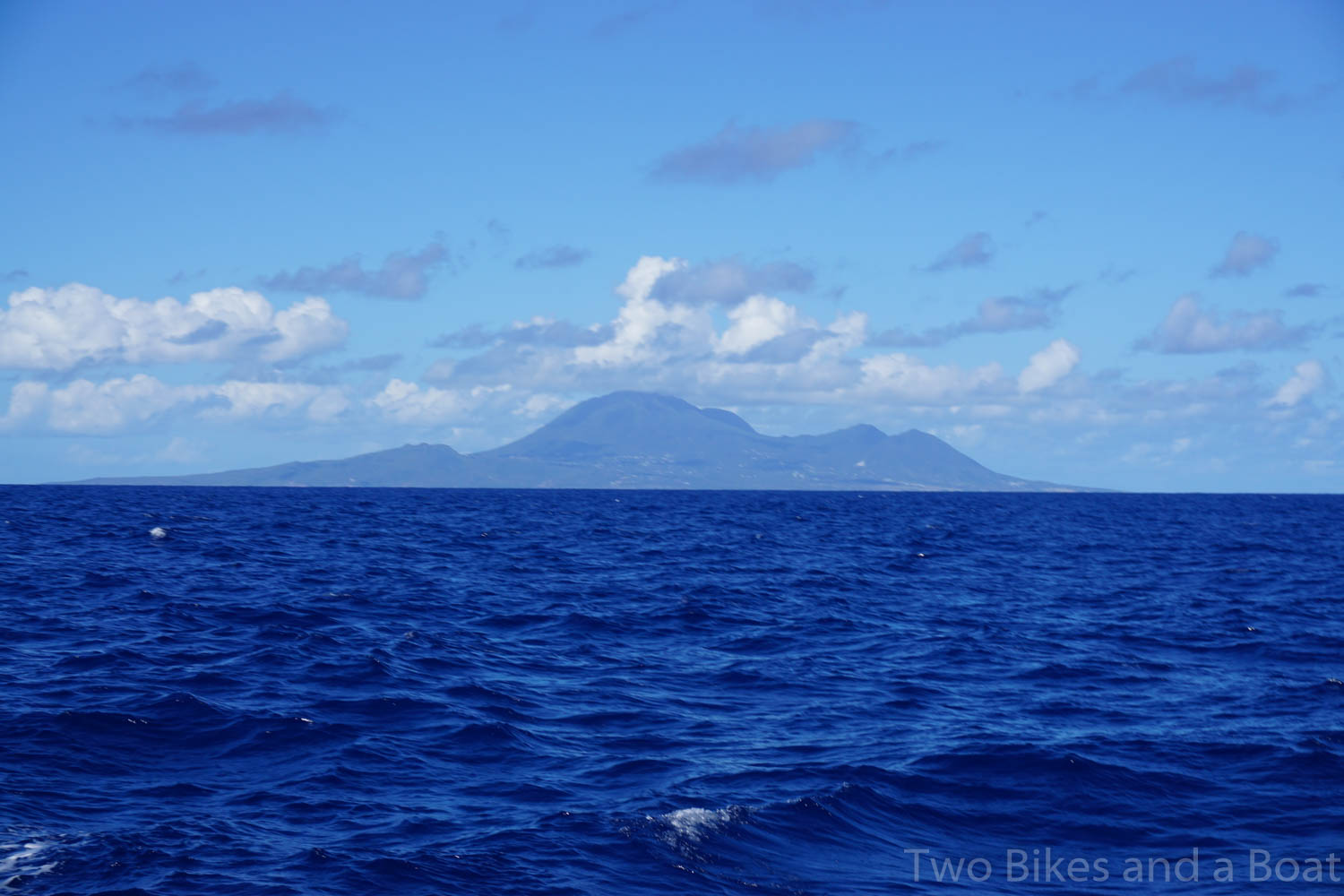
Under the category of stating the obvious (or perhaps that should be lacking in imagination?) the hands-down winner is the island of Saba. This is a small (13 square kilometres, a population of just under 2,000), rather isolated island, a Special Municipality of the Netherlands where Dutch is still spoken. Maybe these names lost something in the translation, but how is this for obvious:  Its towns are called The Bottom (the capital, and, you guessed it, the lowest down), Windwardside (guess which side that’s on), Hell’s Gate (we’ll see more of these, they are usually a geothermal opening of some sort) and of course, St. John’s, everyone’s favourite saint. Their volcano is called Mount Scenery (unique, but still it’s pretty obvious why, if you walk up to the top like we did), and the one road linking all the towns is simply called The Road.

More very popular and very obvious names, usually based on geographic features, include:

  • Marigot. All the French islands have one. It means swamp or lagoon, an enclosed body of water
  • Soufrière. Both Guadeloupe and Montserrat named their active volcanoes thisIt means sulphur. I gather St. Lucia and Dominica also have a Soufrière, although we haven’t made it that far yet.
  • Sugarloaf, or the French Pain de sucre. Plenty of small, conical islands named this. A sugarloaf was the usual form in which refined sugar was produced and sold until the late 19th century, and I guess since these islands were the main source of sugar cane…
  • Hell’s Gate, or the French Trou à diable, usually refer to a geothermal feature, and so far we have seen those on Saba, Iles des Saintes (part of Guadeloupe) and Montserrat.

And finally, there is the whole matter of Basse Terre. This means low land, and again is a very common name.  In the case of St. Kitt’s capital city, it is a simple statement of the obvious, as it is located in the lowlands of that island. But after that, it starts to get complicated. St. Martin uses the variation Les Terres Basses. The Iles des Saintes, two lovely islands that are part of Guadeloupe are named Terre-de-Bas (low land)  and Terre-de-Haut (high land) even though they are both volcanic islands. Granted, Terre-de-Haut’s volcano is higher than the one on Terre-de-Bas.

As for the mainland of Guadeloupe, I think the French explorers were just messing with us. Guadeloupe is shaped like a butterfly, with the two wings named Basse-Terre and Grande-Terre , which is all well and fine, except that the wing that is mountainous and has the volcano is Basse-Terre (low land), and it’s largest city is called Basse-Terre too, just to add to the confusion. The wing that is lower is Grande-Terre (big land), which  has long beaches and sugarcane fields. Perhaps those doing the naming had been enjoying too much of the local rum while doing so?

So if it sounds like we have been somewhere before, we might have doubled back or just hit one of the common place names.  


St Kitts and Nevis

We sailed from St Bart’s to St Kitts on a picture perfect day. Reaching under genoa alone we made fast time in a good breeze. Blue sky and a sea that looks blue or inky black depending on where you look.

We passed between Statia and the top of St Kitts to check in at Basseterre on the leeward side of the island.

Statia (St. Eustatius)

The Anchorage in Statia is not very well protected and the winds at this time of year can make it an uncomfortable place to be.  We hope to take the boat to Statia and Saba later in the spring when the weather should be more suitable.

Basseterre is the capital of St Kitts and Nevis.  Dominated by the Cruise Ship dock and shopping area, the waterfront is typical of many Caribbean ports and it is the worse for it.  I took a long walk around the town and found it all a bit sad.  Once you get out of walking range of the typical cruise ship passenger (which is to say not far) the town seems to have lost its way, all the resources have gone to serving the cruise ships leaving little for the local population.  We were the only visiting yacht on the day we arrived.

The next day we moved  to White House Bay in the south end of the island.  The Bay is part of a major development that is opening up the southern end of the island for tourism.  Christophe Harbour  currently has a super yacht harbour in the salt pond, a hotel that is close to finished and a large area for housing.  The housing seems to be sold as time shares with a 1/10 share going for $450,000 and up, we did not see prices for just the property but millions will be the starting point.  Though they seem to be starting with the super rich, there are plans for a conventional marina in later phases and this has the potential to be a boon to cruisers.

The Salt Plage Beach Bar in White House Bay is charming, if a little expensive.  They provide internet service we could pick up in the bay at least when they were open.

Beers at Salt Plage Beach Bar

The weather here is not perfect, we get rain most days but it does make for great rainbows

Rainbow at White House Bay

We visited the nearby super yacht marina for coffee and Wi-Fi, they were running an event for the crews so the harbour was quite full and this was our view at coffee.

We started to see gusty winds from the NE making White House Bay a leeshore.  (A lee shore is where the wind is blowing the boat directly onto the shore, a problem with the anchor would be very serious.)  We decided to see if the anchorage in Nevis just to the south would work. A quick look-see at the boats bucking wildly off Nevis sent us back to the safety of Major’s Bay on the southern tip of St Kitts.  

Major’s Bay

Major’s Bay is also part of the Christophe Harbour development, but as of yet there is no activity save for a sign.  It is home to this Red Green creation, a small dock and an old set of airstairs cobbled together to get access to the sunken barge.  We asked some locals to see if they new the story as to why someone would do this but no one seemed to know.

The was also the where we suffered our first, and hopefully last emergency of this trip.  The wind had been shifting and getting more gusty through the day.  We had been off the boat for a few hours, cycling over to the super yacht marina, we arrived back at the boat, Kathleen was having a nap and I was reading when the anchor alarm went off.  We use an app  on my phone and our tablet to make sure our anchor is working.  It has a habit of giving a false alarm either because the GPS has lost its signal or I have made a mistake entering the anchor set up.  This time I picked up the tablet and I could see us drifting to shore at almost 0.5 knots.  The wind was very gusty and we were in the middle of a small squall, the gusts were well over 30 knots

This was a surprise, we had anchored 2 days before with lots of scope, and the anchor should have been digging in more, not letting go. 

We got the engine started, got the anchor up and headed out of the bay.  Just as we got underway, the engine started to splutter and slow, after a few seconds it stopped.  So there we were with no engine and no sails up just off a lee shore in a 30 knot squall.

Thankfully we had a way out, we rolled out a tiny patch of genoa to get us moving out to sea.  Meanwhile I realized that we had emptied one of our 2 fuel tanks and so we had run out of fuel.  On a diesel engine, running out of fuel means that you have air in the injection system.  I quickly switched over to the second fuel tank and then bled the fuel system.  Kathleen tried the engine, nothing! OK, think, think, OK, wait a second and try again.  This time the engine spluttered into life before slowly settling down to its normal happy beat.  We motored up the island to a better anchorage at Frigate Bay for the night.

The next day the winds had dropped and the swell was much reduced, we headed south to Nevis.  We picked up a mooring ball off Pinney’s beach and were settling in when we heard visitors.  We were just in front of a Hallberg-Rassy that was flying a Canadian flag and the owners dropped by to see another Canadian boat.  Bill and Wendy introduced themselves, it turns out they are from Ottawa and that I raced against them 10 years ago.  They are BYC members so I had never met them.  There are a lot of cruisers from Ottawa, more than I would imagine.

Bill and Wendy provided a lot of tips for our visit to Nevis, from No more than 3 Killer B’s at Sunshine’s to directions to an old plantation just up the hill.

Killer B’s

Killer B’s, the signature drink at Sunshine’s, the local beach bar, is rightly famous, but they are deadly, I had one, plus about half of Kathleen’s, I am a total light weight if I had had 2 I would have been totally smashed.


House at Montravers Estate

Our walk up to the plantation was great, there are enough remains of the buildings to get an idea of what it might have looked like when slaves worked the hillsides above and below the house.   We explored the paths an roads for a couple of hours before heading back to the boat.

Kathleen has already written up the great bike tour we did around the island.

Overall we enjoyed our time here, Nevis was our favourite, but we need to explore St Kitts some more.

Farewell Nevis

Next up – Montserrat!


Two Bikes Went for a Ride…

The Bromptons have not been ashore for a month or so, not since we left the BVI’s. The Islands we have been visiting since have not been very cycle-friendly, that is until we reached St. Kitt’s and Nevis.

On the southern part of St. Kitt’s we found a lovely new road, that was flat and freshly asphalted, and that took us around a salt pond and all the way to the coffee shop at the newly developing super-yacht docks at Christophe Harbour.

 Nevis was even better. Shaped like a sombrero, it has lower, flatter land all around Mount Nevis, and our cruising guide said it was possible to cycle around the whole island in half a day. So we loaded the bikes into the dinghy and went ashore for some exploring. The first hour was not as flat as they had led us to believe, we gained some 250 metres of altitude, which in this heat, was quite challenging. Our reward at the top was a delicious lunch at Golden Rock, a former sugar-cane plantation turned restaurant. The plantation manor, built in the early 1800’s, and the grounds around it, have been beautifully restored. We ate in the shade on a patio surrounded by manicured lawns and gardens, with a spectacular view all the way down to the sea. The food and service were great too.

Full and refreshed, we set off for the downhill part of the ride, through picturesque villages, with views of the sea all the way. We were delighted to see our first wind farm. And of course we had to check out the airport, but it was nothing special – a great long runway with no hills, or big drops off to the sea, or any other thrilling features.

That’s not to say that the ride back was dull or without adventure. Matthew’s Brompton provided enough entertainment, requiring repair to a punctured rear tire no less than 5 times! He had to keep adding patches on patches, since we discovered a serious omission in our repair kit, no spare tube. 

Repair number five finally held till we got back to the boat. It must have been because of all the assistance we received from some local school children. Thanks, kids.